

- Multiple Shapefile data sources accessed programmatically online and loaded into a geodatabase in Arcpy,
- The city/township polygon and bike path line feature data were loaded onto an existing project map aprx file
- Result for east central Minnesota shows predominant bike path types and total route lengths
- Off road paths are predominant in east central Minnesota in areas surrounding Minneapolis and St. Paul
- Unknown indicates that the predominant route type was populated with a value of unknown read more
Disaster Mapping in Loubiere, Dominica
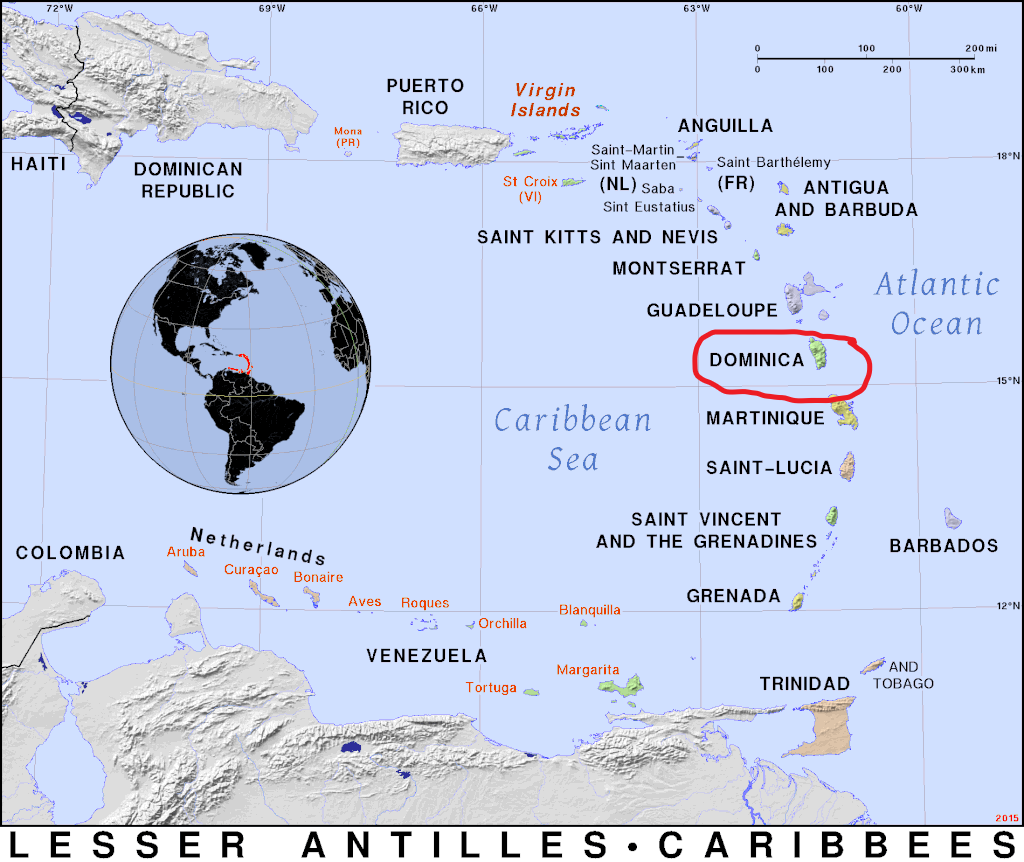
Disaster in Dominica
On September, 18th 2017 Hurricane Maria made landfall on the small caribbean island of Dominica as a Category 5 with 167 mph winds. The storm was rare in the speed at which it went from Category 3 to 5 in less than 24 hours -- giving islands residents …
read moreDisasters
GIS
Multi-Index Combine Columns
Combining columns in a multi-index DataFrame"
read more